Start with the boundary you already have
Import official English RPA parcels directly from Defra, or bring in KML, KMZ and GeoJSON from another mapping system.
Preview and name the fields before anything is added to your Field Register.


A practical Field Register for Android
Import a boundary or measure it yourself. Record the usable acreage, what is on the ground and what needs attention.Then create a clear PDF — without a farm-software subscription or an AcreTrace account.
Android release in preparation
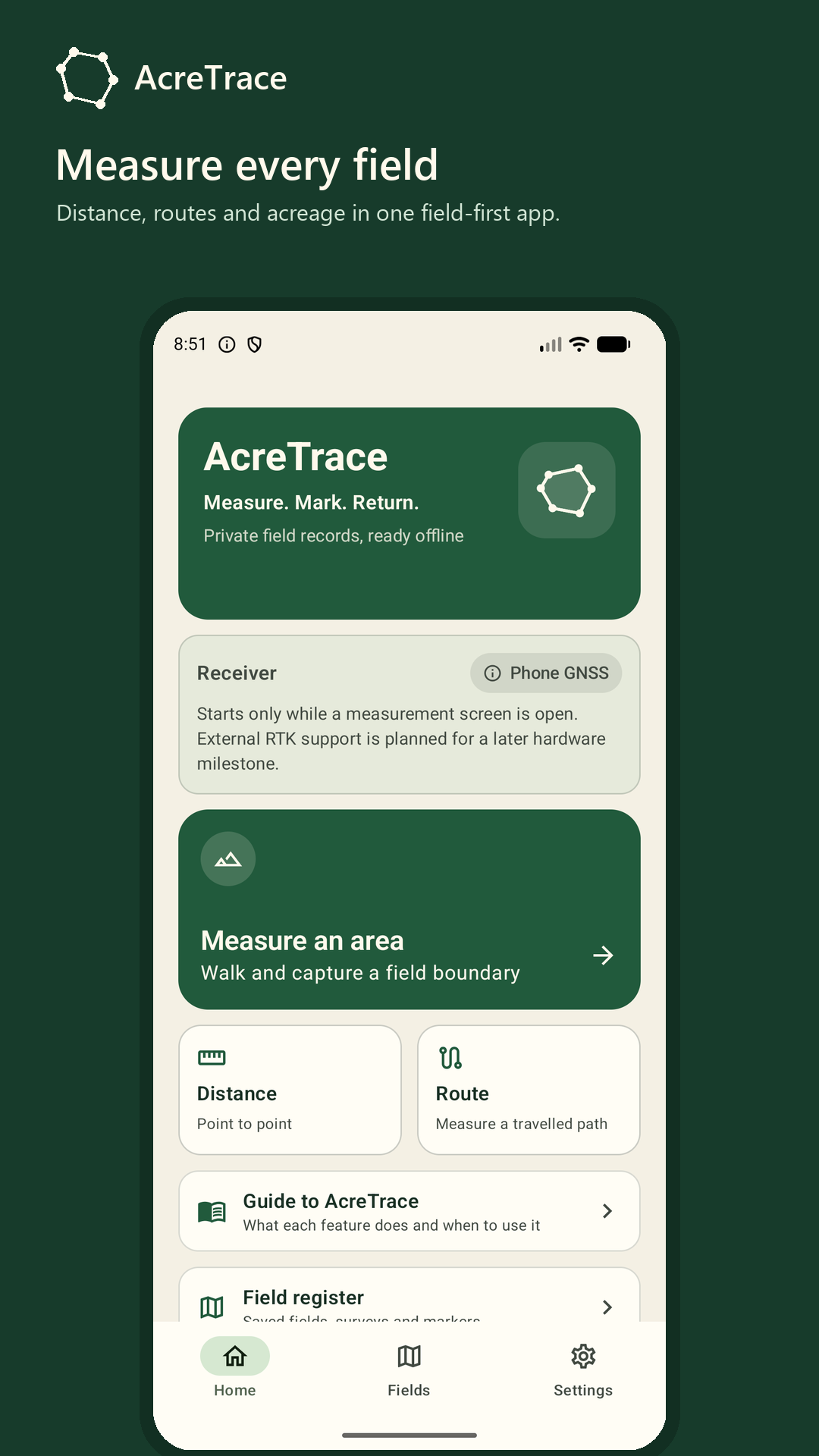
Focused field records, not a sprawling farm system
AcreTrace does not try to replace crop planning, machinery GPS or farm accounts. It keeps the field outline, usable acreage, evidence, markers and report together — clearly and privately.
Import official English RPA parcels directly from Defra, or bring in KML, KMZ and GeoJSON from another mapping system.
Preview and name the fields before anything is added to your Field Register.
A 20-acre parcel is not always 20 usable acres.
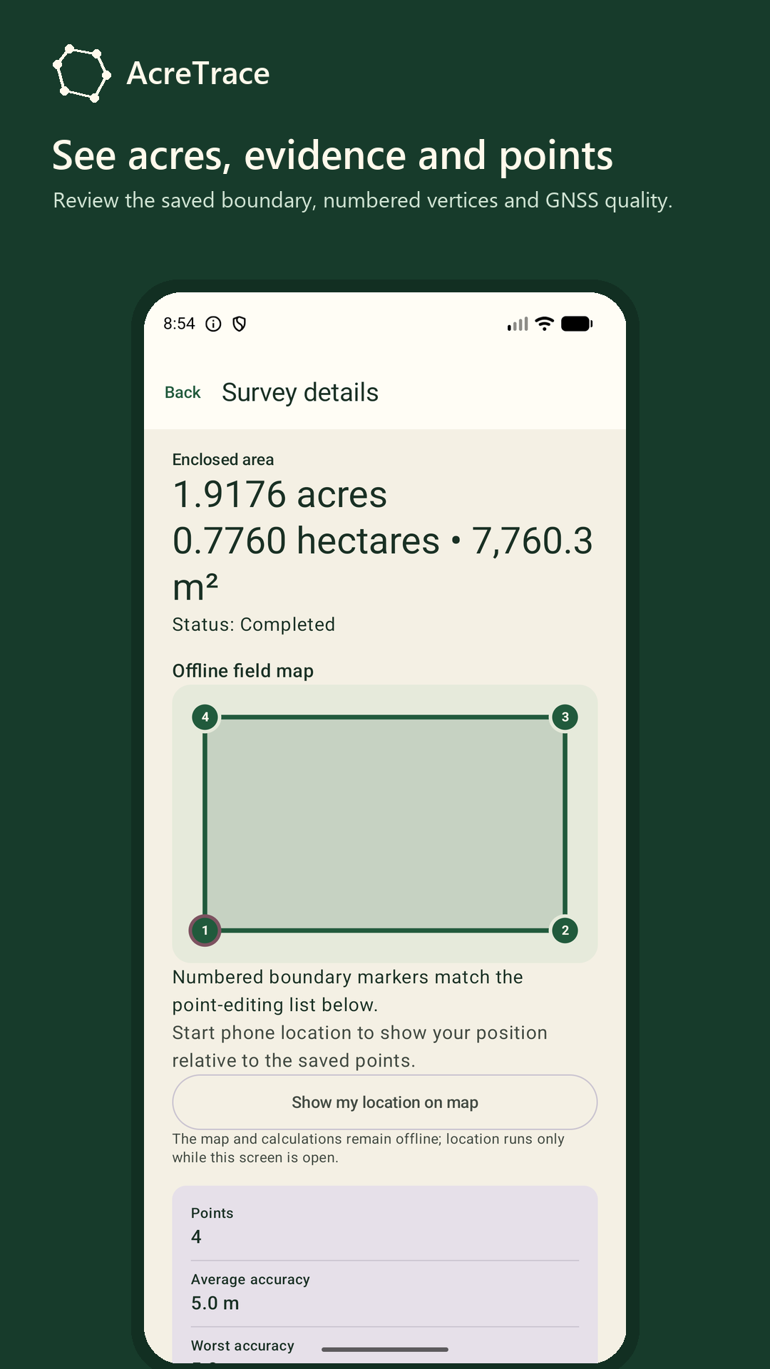
Mark woodland, ponds, buildings and other exclusions to keep gross, excluded and net usable acreage together.
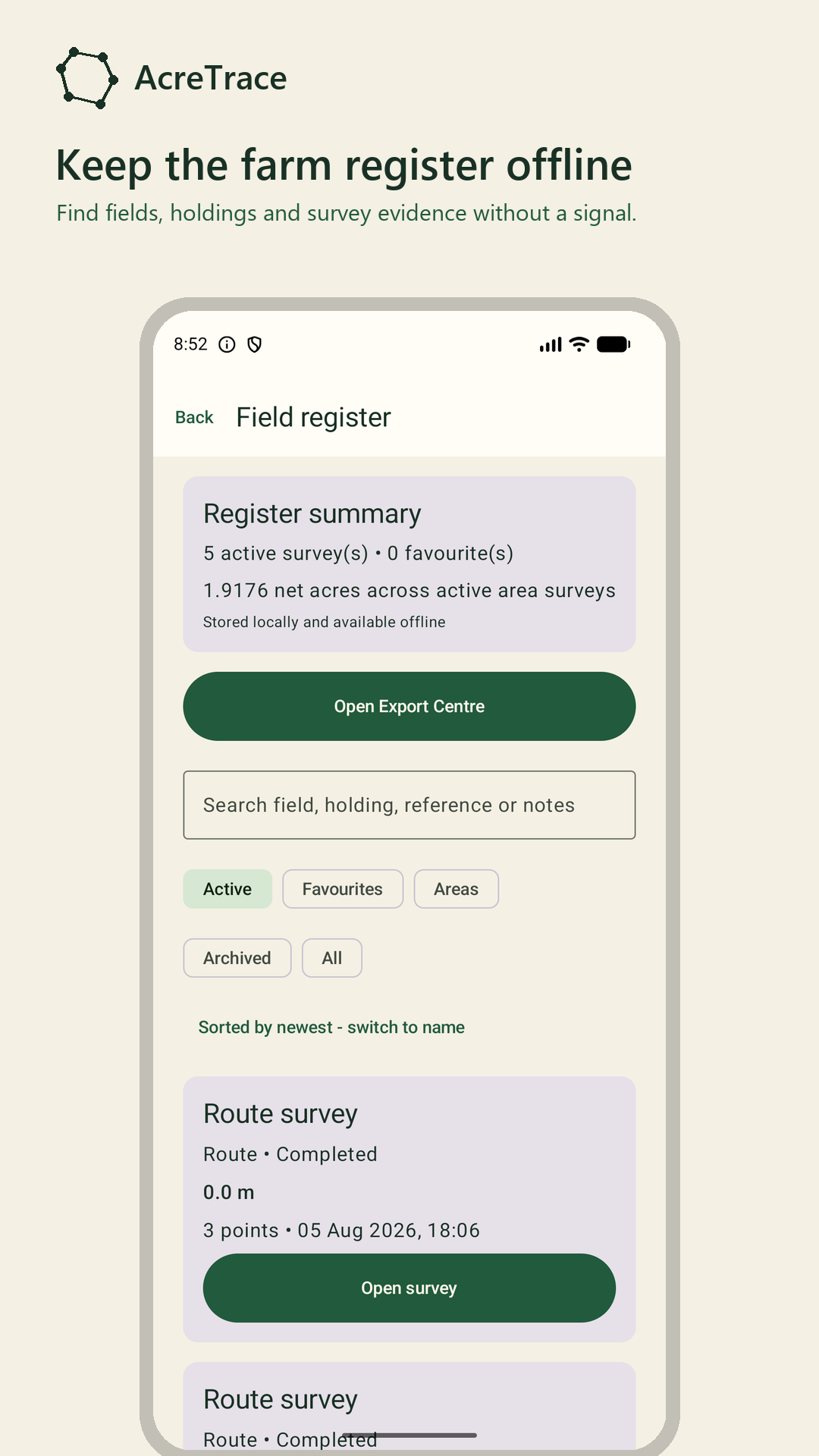
Keep the boundary, holding, field reference, notes, exclusions, markers, photographs and measurement limits in one place.
Create a plain PDF report the recipient can open without AcreTrace.
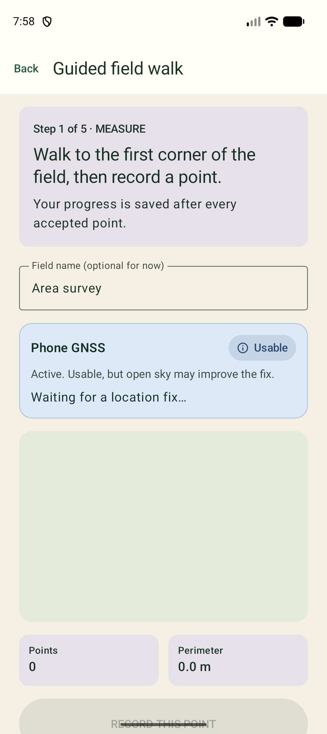
Walk a field boundary, measure a straight line or record the route actually travelled.
AcreTrace shows the phone accuracy it received instead of presenting every result as exact.
Save gates, water points, drains, hazards and other useful locations as you find them.
Spot something that needs attention? Mark it Repair Needed, add a note or photograph and carry on with the job.
An optional free OS OpenData background gives boundaries familiar Ordnance Survey context while online.
Lose reception and the normal AcreTrace field map, records and calculations still work.
No AcreTrace account, advertising, analytics or silent cloud upload.
Records stay on the Android phone until you deliberately export, share or back them up.
Also useful for contractors
AcreTrace remains a Field Register first. When a field record is for paid work, you can also add the client, a job or quote reference and a short work description.
Use route distance for fencing, hedging or track work, acreage for mowing or spraying, and put the result into a PDF the client can open without the app.
No invoicing system, no customer database and no extra contractor clutter when you do not need it.
How to add contractor detailsMake the walk useful
You're already walking the boundary. AcreTrace lets you make that walk useful.
Mark it Repair Needed and take a photograph.
Save the location and add a note.
Mark it so you can find it again.
Measure it as an exclusion from usable acreage.
Create a field report when you're finished.
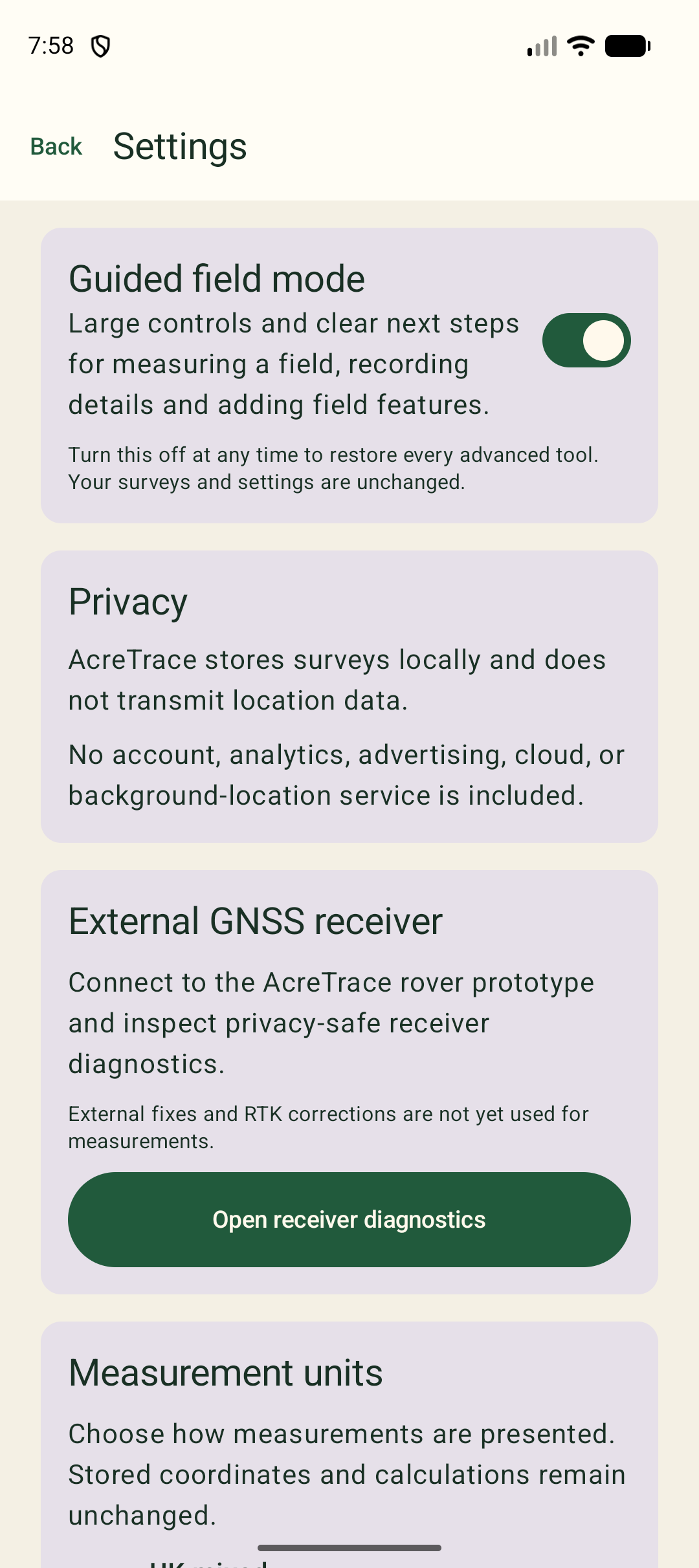
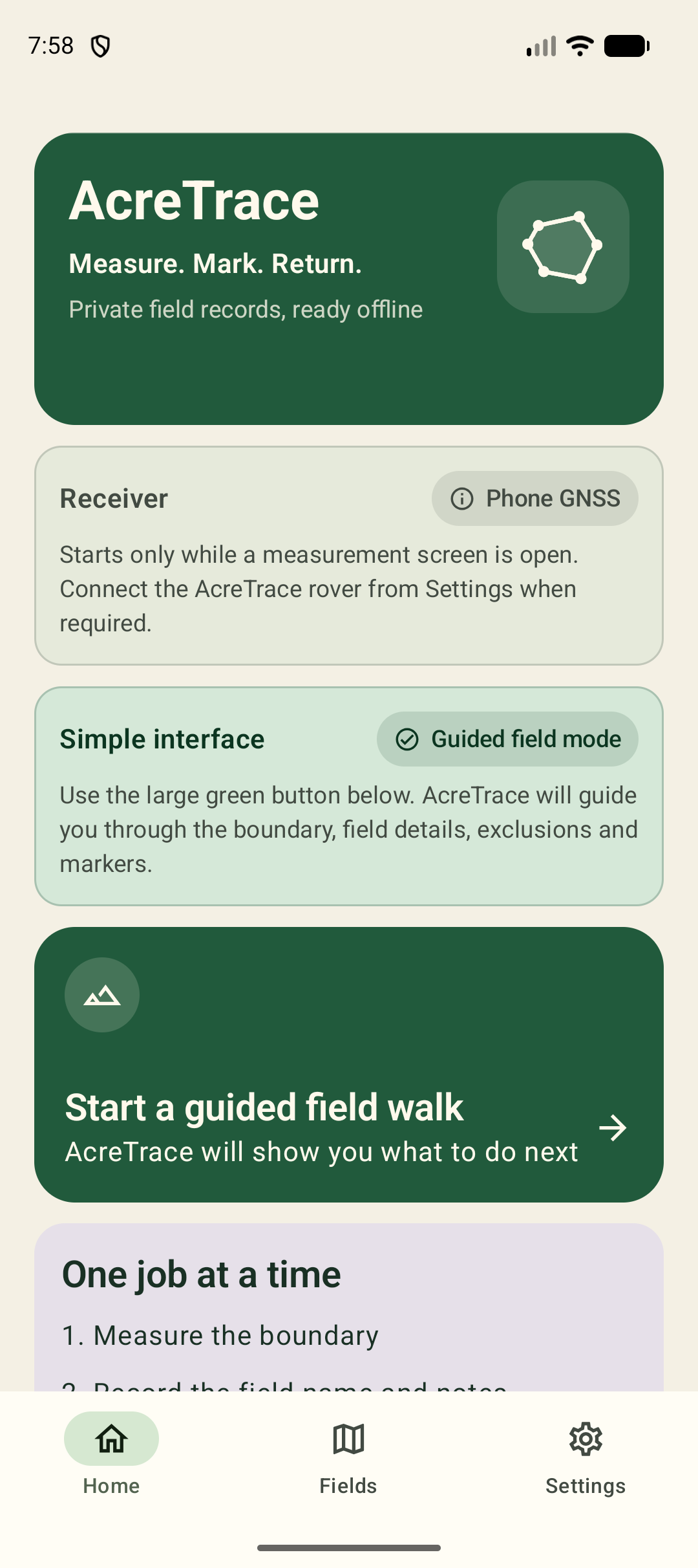
Optional guided field mode
For outdoor work, gloves or anyone who prefers a simpler interface, AcreTrace can guide the whole field walk with large controls and an obvious next step.
It uses the same survey records as the full interface, so guided mode can be switched on or off at any time.
Designed for daylight and muddy boots
AcreTrace keeps the main controls large and the important information easy to see.Measure while you're out, then review the field, notes, photographs, markers and acreage when you have more time.
Private by design
AcreTrace keeps its records on your Android phone.
There is no AcreTrace account, no advertising and no analytics. Your surveys, photographs and field records leave the app only when you choose to export, share or back them up.
If you choose to import official English boundaries, the app sends the SBI directly to Defra over HTTPS for that request. No AcreTrace server receives it.
Boundary files are read on the phone. If you switch on the OS map, map tiles are requested directly from Ordnance Survey; the normal field map remains available offline.
How AcreTrace handles your dataClosed Android beta
We are recruiting a small group of Android users to test the app for at least 14 consecutive days. Accepted testers receive private Google Play access and, for the paid test release, a one-time code so there is no charge.
AcreTrace for Android
AcreTrace for Android is currently being field tested.
Google Play release is in preparation.
